September 9, 2015: Day 9, Palisade Lakes to Grouse Meadow. Distance: Approximately 11 miles.


Great coffee spot!


Great coffee spot!


 Sunrise after the rain storm by Geoff Potter, on Flickr
 Lake Thomas A. Edison by Geoff Potter, on Flickr
 VVR Yurt by Geoff Potter, on Flickr
 Vermilion Valley Resort by Geoff Potter, on Flickr
 Vermilion Valley Resort (VVR) shuttle by Geoff Potter, on Flickr
 Vermilion Valley Resort by Geoff Potter, on Flickr
 Old school soda cans by Geoff Potter, on Flickr
 Vermilion Valley Resort by Geoff Potter, on Flickr
 Lake Thomas A. Edison by Geoff Potter, on Flickr
 Lake Thomas A. Edison by Geoff Potter, on Flickr
 After the rain by Geoff Potter, on Flickr
 Silver Pass by Geoff Potter, on Flickr
 Silver Pass by Geoff Potter, on Flickr
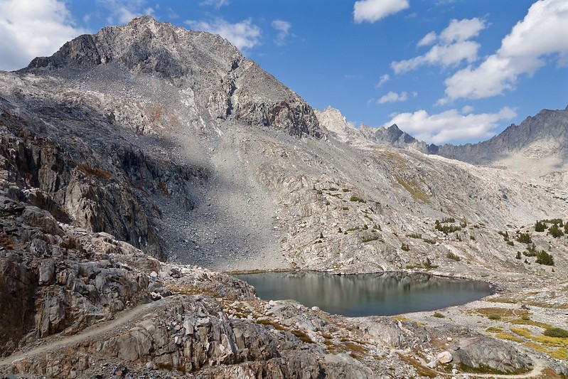
 Silver Pass Lake by Geoff Potter, on Flickr
 Silver Pass by Geoff Potter, on Flickr
 Looking towards Ansel Adams Wilderness by Geoff Potter, on Flickr
 Silver Pass by Geoff Potter, on Flickr
 Warrior Lake by Geoff Potter, on Flickr
 Chief Lake by Geoff Potter, on Flickr
 Chief Lake by Geoff Potter, on Flickr
 Squaw Lake by Geoff Potter, on Flickr
 Fish Creek by Geoff Potter, on Flickr

Comment